Artificial intelligence is finding a bigger role in agriculture. Now, technology developed with India’s farming landscape in mind is reaching countries beyond India.
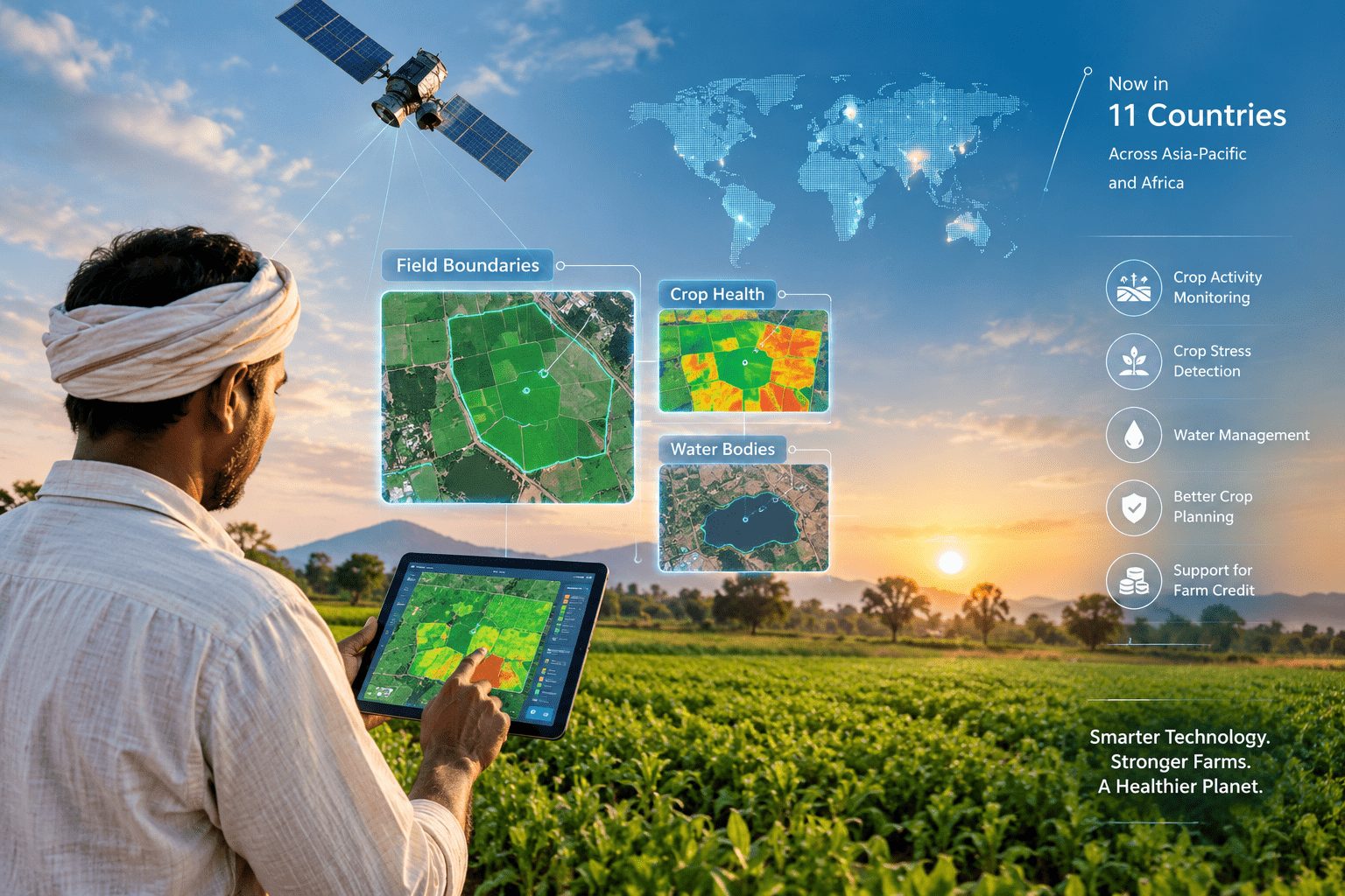
Google DeepMind’s Agricultural Landscape Understanding (ALU) and Agricultural Monitoring & Event Detection (AMED) models are being tested by partners across 11 countries in Asia-Pacific and Africa.
The two models use satellite imagery to understand agricultural landscapes.
ALU can identify farm boundaries and map agricultural areas. AMED helps monitor farming activity and detect changes over time.
The models were developed by Google DeepMind’s AnthroKrishi team, with India as an important starting point. Their outputs are available through APIs and as a data layer on Google Earth.
Satellite-based AI can provide information that is difficult to collect through traditional field visits alone.
The technology can help identify:
This creates more detailed information for farmers, governments, lenders and agricultural organisations.
The technology is already being used in several agricultural projects in India.
In Telangana, the Agriculture Data Exchange platform is using ALU and AMED as part of digital agriculture services. One pilot, Krishivaas, is designed to provide local information about crop stress, weather patterns and pest outbreaks.
Karnataka is also using the models for water management.
The state’s Water Resources Department is combining satellite information with weather and other data to monitor around 2.6 million hectares of irrigated land. The aim is to support better decisions about water use and productivity.
Agricultural lending often depends on information about farms and crops.
That information can be difficult to verify across large and fragmented agricultural areas.
Terrastack has used ALU and AMED to build a spatial intelligence platform. The platform has mapped more than 140 million hectares of farmland, according to Google.
Better farm-level information could help financial institutions assess agricultural activity without relying only on physical field visits.
AI is also being used to support lower-carbon rice cultivation.
CarbonFarm uses the ALU API and Gemini to generate field-level information. The system helps monitor farming practices linked to reducing the environmental impact of rice production.
The company aims to support 2 million hectares of low-carbon rice by 2030.
The international expansion is an important part of the story.
Google says the models are now being tested by trusted partners across 11 countries in the Asia-Pacific and Africa regions.
The technology is also being incorporated into international agricultural data initiatives. Google says the models are being integrated into the UN Food and Agriculture Organization’s geoAI4stats initiative to strengthen agricultural data and planning.
AI cannot replace the knowledge of farmers.
Agriculture depends on local soil conditions, weather, water availability and years of practical experience.
Instead, AI can provide another layer of information.
Farmers and agricultural organisations can combine digital data with local knowledge to make more informed decisions.
India has a diverse agricultural landscape. That makes it a challenging environment for developing technology that can work across different crops, regions and farming systems.
The global use of these India-focused models shows how agricultural technology developed for local challenges can have wider applications.
As agriculture becomes more data-driven, tools that combine satellite imagery, AI and local knowledge could become increasingly important for farm planning, water management and climate resilience.