
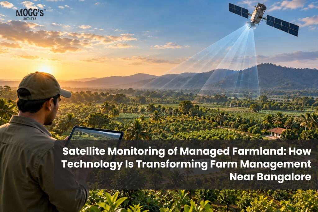
Satellite monitoring of managed farmland can complement routine plantation care, irrigation checks and field inspections. By reviewing dated satellite images alongside on-site observations, farm managers can track vegetation changes and identify areas that may require attention. The effectiveness of this approach depends on image resolution, weather conditions, the type of crop and the quality of ground-level assessments.
What Is Satellite Monitoring in Agriculture?
Satellite monitoring uses imagery from Earth-observing satellites to track agricultural land. The satellites record reflected light across several wavelength bands, and software turns those readings into maps and indices. Depending on the satellite, the data may show vegetation density, surface temperature, and changes in the land between passes.
The main advantage is coverage. A manager can compare every block of an orchard or plantation in one view, then decide which areas need a closer look. The main limit is resolution and timing. Satellites pass over a site on a set schedule, and cloud cover can delay or block images.
How Satellite Monitoring Supports Crop Health
Crop health is the most common use. Satellite imagery is often analysed with vegetation indices such as the, which estimates how much healthy green vegetation a canopy contains.
When an index drops in one block but not its neighbours, the manager has a starting point. The cause could be water stress, nutrient problems, pests, disease, or normal variation between planting dates. The imagery shows where to look, not what the cause is. Field inspection is still needed to diagnose the problem.
Water Management and Irrigation Checks
Water is often the decisive factor on farmland near Bengaluru, where many properties depend on borewells. Satellite data can help flag areas where vegetation appears stressed. Some systems also provide land surface temperature, which can support assessments of crop water stress.
Satellite data alone cannot tell a manager how much to irrigate. Soil moisture readings, borewell records, and direct inspection are needed for irrigation decisions. Used together, the two sources give a clearer picture than either one alone.
Tracking Land Development Over Time
Comparing images from different months or seasons shows how a property changes. Managers can see when a plantation has filled in, when a section has been cleared or replanted, and whether growth is uniform across blocks.
For owners, this kind of record can document development on the land. It is only meaningful when the images are dated, the method is explained, and the owner is shown how to read them.
Satellite Monitoring and Managed Farmland
Managed farmland combines land ownership with professional maintenance, which may include irrigation, plantation care, soil management, and site inspections. Satellite monitoring can sit alongside those activities as one layer of information.
A useful question for any managed farmland provider is how the monitoring data reaches owners. Ask whether they share dated imagery, field reports, or progress updates, and whether those reports explain what the data does and does not show.
Can Satellite Monitoring Help You Evaluate Farmland Before Buying?
Satellite imagery can be a useful first look at a property. Historical images show how the land has changed, what grows around it, and whether roads and nearby development have expanded.
Satellite images cannot establish legal ownership, confirm boundaries, or show whether the land is agricultural or converted. Those checks need the sale deed, revenue records, the encumbrance certificate, and a site visit. Treat satellite imagery as one input to due diligence, not a substitute for it.
Benefits of Satellite Monitoring for Managed Farmland
Benefits
- Whole-property visibility, including areas that are hard to reach
- Earlier identification of blocks that need inspection
- Better planning of field visits and resources
- A dated record of how the land has developed
Limits
- It does not guarantee higher yields, higher land value, or any investment return
- Cloud cover and satellite revisit times can delay usable images
- Resolution may be too coarse for small plots or individual plants
- Results depend on soil, crop, weather, water, and management practice
Using Satellite Monitoring to Evaluate Farmland
Satellite imagery works well as a first screen. A drone flight can then give a closer visual inspection of a flagged area, and soil testing can identify nutrient or moisture problems. Each tool answers a different question, so a good monitoring programme combines them rather than relying on one.
For orchards, plantations, and larger agricultural properties, this layered approach gives managers a practical way to decide where to spend time and money.
What to Ask Before Choosing a Managed Farmland Provider
Satellite monitoring is one part of farm management. Before committing, ask about:
- Monitoring method: Which satellite data is used, how often it is captured, and what indices are calculated
- Owner reporting: Whether dated images and field reports are shared, and in what format
- Water plan: The water source, irrigation method, and how water stress is checked on the ground
- Management scope: Which services are included and who is responsible for daily operations
- Costs and contract: Maintenance charges, reporting fees, and what happens if the provider stops managing the land
- Land documents: Ownership records, boundaries, and legal status, verified separately from the management service
Final Thoughts:
Satellite monitoring of managed farmland provides a useful way to observe crop health, track land development and plan farm inspections. However, satellite imagery works best alongside field visits, soil and water testing, and professional agricultural judgement.
For buyers exploring managed farmland near Bangalore, Mogg’s Estates offers farmland projects with management support. Before purchasing, verify land ownership, legal status, water availability and management terms independently. Explore Mogg’s Estates to learn more about managed farmland projects.
FAQs:
What is satellite monitoring in agriculture?
It is the use of satellite images and data to observe farmland, including vegetation health, land change, and some water-stress indicators, across a whole property.
What is NDVI and why does it matter?
NDVI, the Normalised Difference Vegetation Index, estimates the density and condition of green vegetation from satellite light readings. Managers use it to find blocks that differ from their neighbours and need inspection.
Can satellite monitoring tell me when to irrigate?
Not on its own. It can flag possible water stress, but soil moisture measurements and field checks are needed to decide when and how much to irrigate.
Does satellite monitoring increase farm yields or land value?
It does not guarantee either. It can support better decisions, but results depend on soil, crops, weather, water, and management.
Can satellite images confirm who owns a piece of land?
No. Ownership and boundaries must be verified through the sale deed, revenue records, encumbrance certificate, and a lawyer’s review.
Is satellite monitoring the same as drone inspection?
No. Satellites give wide, regular coverage. Drones give closer, more detailed views of specific areas, and are often used to follow up on satellite flags.