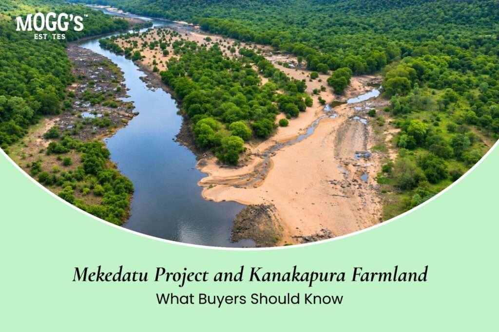
Quick answer: The Mekedatu project is a proposed dam and balancing reservoir across the Cauvery River in Ramanagara district. Karnataka describes it as a drinking water scheme for Bengaluru and nearby areas, with some power generation. Reports from May to July 2026 describe a detailed project report, ongoing political and legal disputes, and no reported central approval or start of construction. A project like this can affect land through submergence, acquisition, forest clearances, and access changes. Before you rely on any claim about the project for a Kanakapura plot, check its official boundary against the plot’s survey number, and check the current status from official sources.
Kanakapura is one of the areas people link with the Mekedatu project, because the proposed reservoir lies in Ramanagara district. News coverage is frequent and often heated, which makes it easy to confuse what is approved with what is only proposed. This guide separates the two, explains how a reservoir could affect nearby land, shows how two Mogg’s Estates projects near Kanakapura, Aira Farms Phase 1 and Aira Farms Phase 2, fit into that picture, and sets out the checks a buyer should make.
What the Mekedatu Project Is
Mekedatu is a proposed multipurpose project on the Cauvery River. Karnataka describes it as a balancing reservoir and drinking water scheme for Bengaluru and nearby areas. According to state ministers quoted in news reports, the project would store water, supply drinking water, and generate power. The state has said it will not supply irrigation water from the project, and that the reservoir would help it release water downstream more effectively during shortages.
The project has been discussed for decades. It is both an engineering proposal and an inter-state dispute, so its timing depends on legal and political steps as well as technical ones.
Where Things Stand: The Latest Reported Position
The following summarizes news reports from May to July 2026. Reports can conflict, and the position may have changed since then, so verify it before you publish or act on it.
- May 2026: The Karnataka Deputy Chief Minister reportedly said the detailed project report (DPR) had been prepared and a project office opened. He said the report would go to the Centre, and that groundbreaking would follow central approval. He also said alternate land was being identified to compensate for forest area that would be submerged.
- May 2026: Reports said the Supreme Court had dismissed Tamil Nadu’s review petition against the project. Earlier coverage of a November 2025 hearing described the project as still at a preliminary stage, without permission granted.
- June 2026: The Karnataka Chief Minister reportedly met the Union Jal Shakti Minister to seek faster clearance. The same month, the Tamil Nadu Assembly reportedly passed a resolution opposing the project.
- July 2026: The Karnataka government reportedly said it would continue to pursue the project in line with legal directions, and Tamil Nadu’s opposition continued.
Taken together, the reports describe a project with a DPR, political backing in Karnataka, and continuing legal and inter-state disputes. They do not report central approval or the start of construction. An article that calls the project approved or under construction is out of date, unless an official notice confirms it.
How a Reservoir Could Affect Nearby Land
A large reservoir can change land in several ways. The effect depends on where the water spread, the acquisition boundary, and the access routes fall in relation to a specific plot.
Submergence: Land inside the planned water spread may be lost to the reservoir. Land near the edge can also be affected by changes in drainage and seepage.
Acquisition: Government acquisition of land and payment of compensation may follow approval. Acquisition notices attach to specific survey numbers, so the records for each plot matter.
Forest and environmental clearances: The project involves forest land, and clearances and compensation land form part of the process.
Access and infrastructure: Roads, transmission lines, and project facilities can change access to nearby plots, either for better or for worse.
Each of these depends on the final design and boundary. A plot a few hundred metres from one project line can be affected very differently from a plot on the other side of a road.
Can the Project Raise or Lower Land Values?
Land prices near a water project can move either way. Possible reasons for a rise include better drinking water supply, improved roads, and general development. Possible reasons for a fall include loss of land inside the water spread, acquisition uncertainty, restrictions on construction near the reservoir, and delays.
Do not assume that a nearby project will raise values. Ask what the project would do to the specific plot, and treat any growth expectation as unproven until the approved design is public.
Kanakapura Projects to Check
Mogg’s Estates lists two managed farmland projects near Kanakapura under the Aira name. Their project pages do not mention the Mekedatu project, so neither page can confirm whether any plot lies outside the reservoir’s proposed boundary. Treat both as projects to verify, not as projects known to be safe or affected.
Aira Farms Phase I
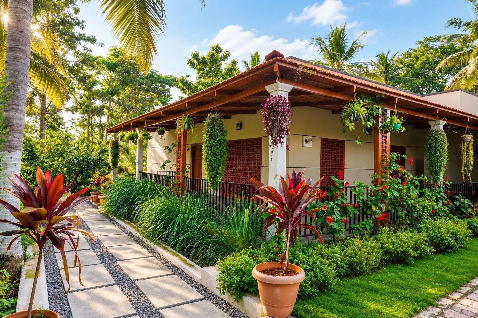
Aira Farms Phase I is a managed farmland project of about 20 acres of cultivated, productive agricultural land. The project page places it about 50 kilometres from Bangalore, and it lists Kanakapura as roughly 5 to 6 kilometres away.
The land is divided into individually marked farmland plots. The page states that plots start at about 6,500 square feet, and that each plot has access to a dedicated water pipeline. The entire property has boundary fencing, and a water tank of more than 25 lakh litres supports water management across the farm. The page lists established coconut, mango, lemon, custard apple, chikoo, jackfruit, and arecanut trees, and states that four full-time workers are assigned to support plot care and maintenance.
For a Mekedatu check, the key questions are the plot’s survey number, its position against the official boundary, and whether the water source and access road would be affected by any project works.
Aira Farms Phase II

Aira Farms Phase II is a managed farmland project of about 7 acres. The project page places it about 50 kilometres from Bangalore, with Kanakapura listed about 6 kilometres away. The page states that plots start at about 6,500 square feet, and it describes boundary fencing, lighting, restrooms, and a security house.
The page describes fruit-bearing and forest trees across the farmland, but it does not list individual species. Ask the team for the plantation plan for each plot, and for the survey numbers that cover the project.
What Buyers of Either Aira Project Should Verify
Both projects sit near Kanakapura, so the Mekedatu checks apply to each of them:
- Confirm the survey number and hissa for each plot, and check them against the official Mekedatu project boundary.
- Ask the team in writing whether any part of the project falls within the proposed water spread, acquisition boundary, or forest-related land.
- Check the revenue records for each survey number for any notification or acquisition.
- Confirm the access road to each plot, and whether project works could change it.
- Confirm the water source, the pipeline, and the storage for each plot, and how they would be affected by any change in the water supply.
The two project pages also show the same survey number, 744/2, and the same average price on every plot card. Treat this as a question to resolve before publishing or buying. Confirm the survey number for each plot and each project with the Mogg’s Estates team.
Scenarios for a Kanakapura Plot
The table below sets out how a buyer might think through different outcomes.
| Scenario | What could happen | What a buyer should check |
|---|---|---|
| Project not approved for years | The land is valued on its current use, access, title, and water | Revenue records, title, and access on the ground |
| Approved, plot outside the water spread | Possible gains from water and access, but also limits on construction and use | The official project map and any restrictions near the reservoir |
| Approved, plot inside the water spread or acquisition boundary | Loss of land, or a compensation process; the plot may not be usable | The survey number against the official boundary and any acquisition notice |
| Project delayed, redesigned, or cancelled | Expected benefits may not arrive, and early buyers may wait longer | Whether the plot works without the project |
For each scenario, ask whether you would still buy the plot if the project never went ahead. If the answer is no, the investment depends on a decision that has not yet been made.
What to Check on Any Kanakapura Plot
Before you pay any money, check the following points.
The survey number against the official project boundary: Ask for the approved or proposed submergence map, and check whether the plot falls inside it. A verbal assurance is not enough.
Acquisition and notice history: Check the revenue and land records for any notification, acquisition, or proposed acquisition linked to the survey number.
Forest or reserve status: Confirm that the land is not forest land or land linked to forest compensation.
Title and encumbrances: Review the sale deed, the title chain, and the Encumbrance Certificate, as you would for any farmland. Our guide to land due diligence for farmland sets out the full checks.
Land classification and conversion: Confirm whether the land is agricultural or converted, and what construction the classification allows.
Access and water: Test the access road in the monsoon, and check the water source and drainage on the plot.
Official project documents: Read the official summary or public project notices, rather than brochures or second-hand summaries.
If the seller or broker cannot provide these documents, treat the plot as unverified.
Kanakapura Farmland: Other Factors That Still Apply
The project is one factor among many. Kanakapura Road and the surrounding villages also depend on the following:
- Road access, and the status of approved transport projects
- Water availability for farming, which may or may not change with the reservoir
- Soil, drainage, and suitability for the crops you plan to grow
- Title, land classification, and the rules on who may buy agricultural land
For a method to estimate land value, read our guide to the Kanakapura land price per acre. Use it alongside the project check, not as a replacement for it. To see how the Aira projects are set out, visit Aira Farms Phase 1 and Aira Farms Phase 2.
Risks Buyers Should Keep in Mind
Speculative pricing: Sellers may quote higher prices because of the project. Compare the price with registered sale deeds for similar plots, not with the project story.
Partial information: A brochure may show the reservoir without the full submergence map.
Timing risk: Legal, political, and funding steps can delay the project for years.
Acquisition risk: Acquisition can take land out of use and change the value of nearby plots.
Liquidity: Land near an uncertain project may be harder to sell, because buyers may wait for a decision.
Checklist Before You Buy Kanakapura Farmland
- Confirm the project’s status from official or recent, reliable sources.
- Obtain the official project boundary, and compare it with the plot’s survey number.
- Check the revenue records and any acquisition notices for the plot.
- Verify the title chain and the Encumbrance Certificate with a property lawyer.
- Confirm the land classification, the conversion status, and your eligibility to buy.
- Test the access road, the water source, and the drainage on the ground.
- Compare the price with recent registered sale deeds for similar plots.
- For Aira Farms Phase 1 or Phase 2, confirm the survey number and hissa of your plot in writing.
- Model the investment without the project. Buy only if the plot works on its own merits.
Key Takeaways
- The Mekedatu project is a proposed reservoir and drinking water scheme across the Cauvery River in Ramanagara district.
- Reports from May to July 2026 describe a DPR, political backing in Karnataka, and continuing legal and inter-state disputes, with no reported central approval or construction start.
- A reservoir can affect land through submergence, acquisition, forest clearances, and access changes, and the effect depends on the plot’s exact position.
- Aira Farms Phase 1 (about 20 acres) and Aira Farms Phase 2 (about 7 acres) are both listed near Kanakapura, and their project pages do not mention the Mekedatu project.
- Check each Aira plot’s survey number against the official Mekedatu boundary before you pay.
- Buy only if the plot makes sense without the project.
FAQs:
What is the Mekedatu project?
It is a proposed dam and balancing reservoir across the Cauvery River in Ramanagara district. Karnataka describes it as a drinking water scheme for Bengaluru and nearby areas, with some power generation.
Has the Mekedatu project been approved?
Based on reports from May to July 2026, central approval had not been reported as granted, and construction had not been reported as started. Confirm the current position with official sources before relying on it.
Is Mekedatu in Kanakapura?
The proposed reservoir lies in Ramanagara district, and the Kanakapura area is discussed in relation to it. Confirm whether a specific survey number falls within the official project boundary.
Will the Mekedatu project affect Aira Farms Phase 1 or Phase 2?
The Aira project pages do not mention the Mekedatu project, so they cannot confirm whether any plot falls inside the proposed boundary. Check each plot’s survey number against the official boundary, and ask Mogg’s Estates for this confirmation in writing.
Will the Mekedatu project increase land prices in Kanakapura?
The effect is uncertain. It depends on the approved design, the plot’s position, and the timeline. Do not assume that prices will rise.
Could my farmland be acquired for the project?
If a plot falls within an approved boundary, it may be subject to acquisition. Check the revenue records and official notices for the survey number.
What should I check before buying land near the project?
Check the official boundary, acquisition history, forest status, title, classification, access, and water. Compare the price with recent registered sale deeds, and have a property lawyer review the file.